New Handouts
- Malin Freeborn
- April 29, 2023
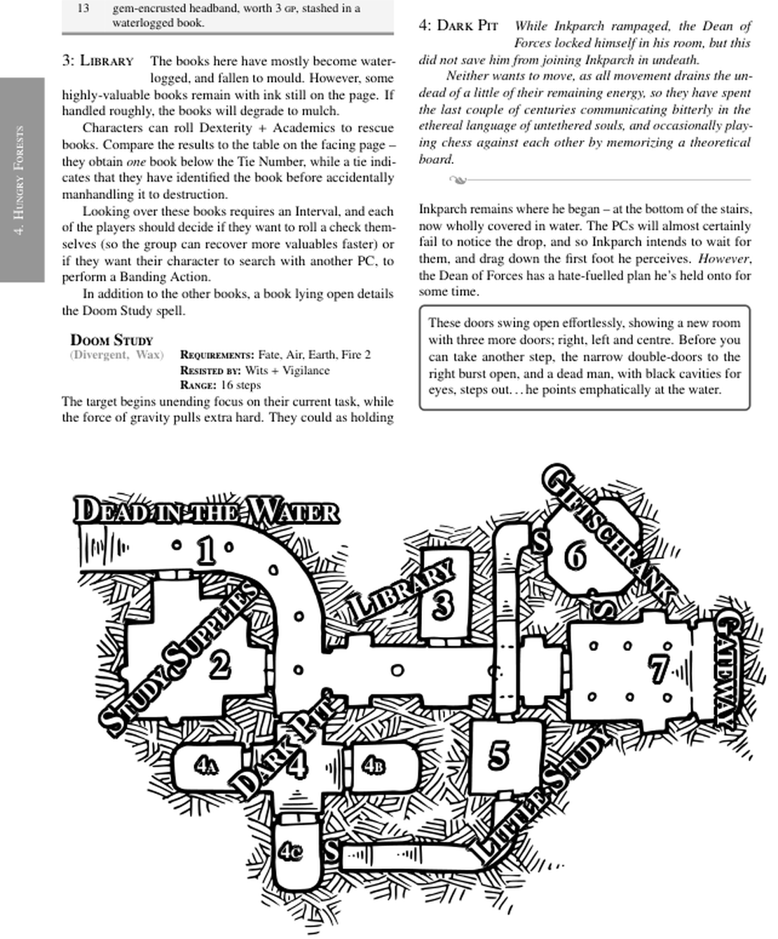
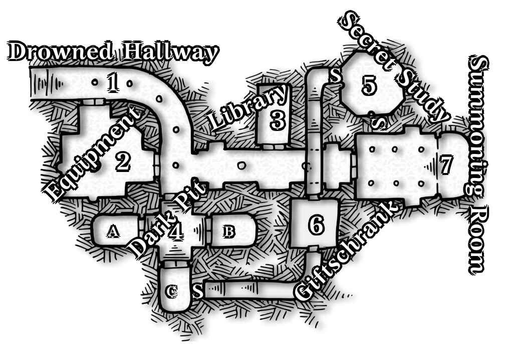
BIND’s maps have their numbers and comments applied by its writing tool, LaTeX. This makes handouts really easy, because the same map can present different layers to different people.
Here’s the plan so far (it’s untested, none of my players have seen this):
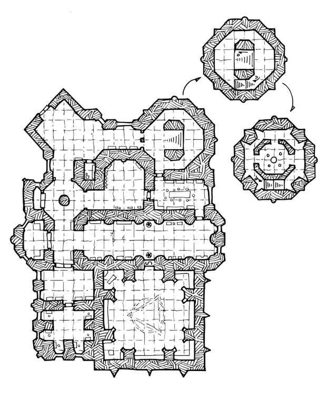
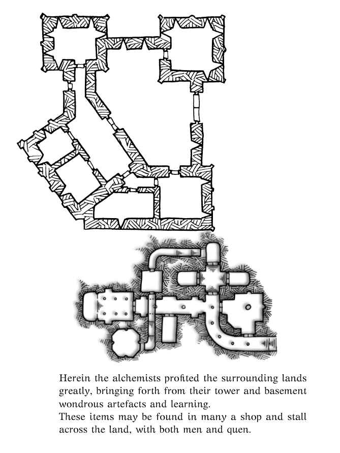
The fallen temple to Eldren (god of death and pensions) has an alternative from when it was still standing (both maps made by Dyson Logos ).
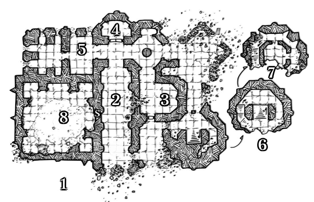
This means that if the PCs research at the local library, they can find a map of the original:
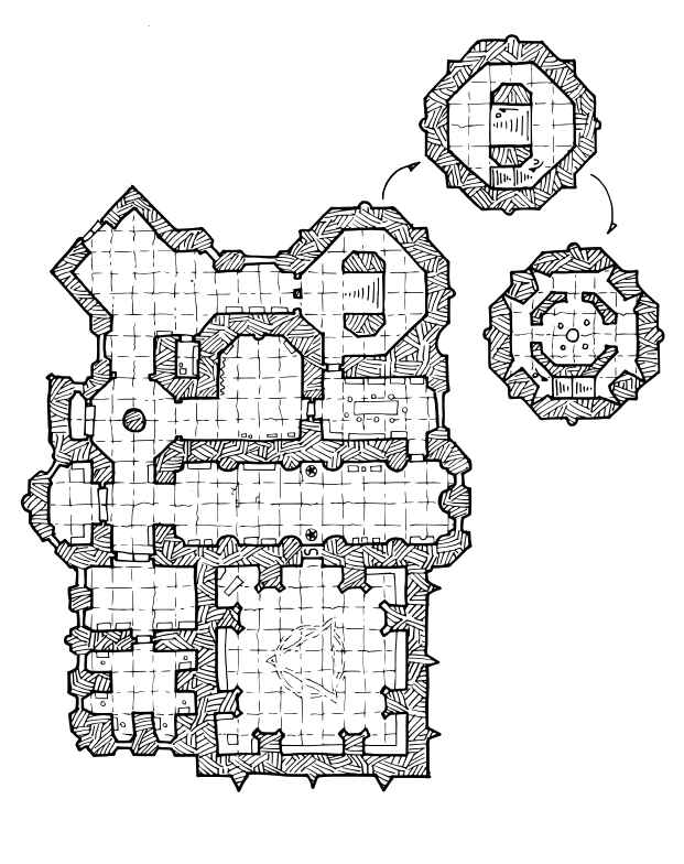
The old alchemy temple has been entirely destroyed, so the top half of the map is entirely useless, but the basement still stands.
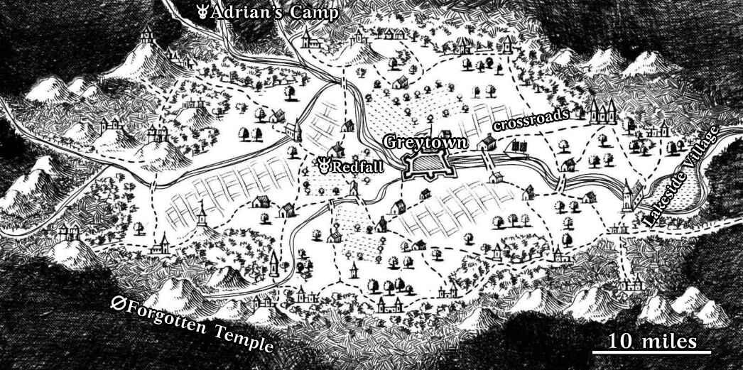
The Grey Valley map is entirely accurate, but lacks the legends and extra info that the GM holds.
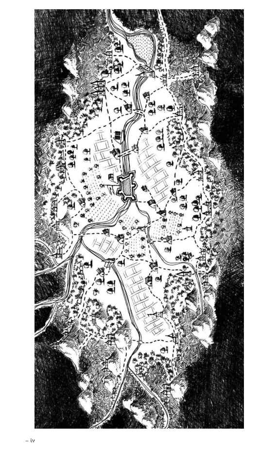
The accurate Grey Valley map feels like a mistake, because it’s accurate. I’d rather have a map full inaccuracies, and with plenty of white-space to let players doodle, and fill in information about the local area.
In fact if I ever get time, I’d like to make two or three maps of the Grey Valley.
- A guild map, covered in adverts, mega information density about artisans and shops. The local town is painted massive and covers half the map. (East at the top)
- An Elvish map, noting elven settlements, with only two human locations mentioned (no names, just ‘humans’). Everything would be in Quenya. (West at the top)
- An ancient map, mostly inaccurate now as everything has moved, showing various temples for pilgrimage, and a few more adverts from local shops.
Edit: I did the elf map.
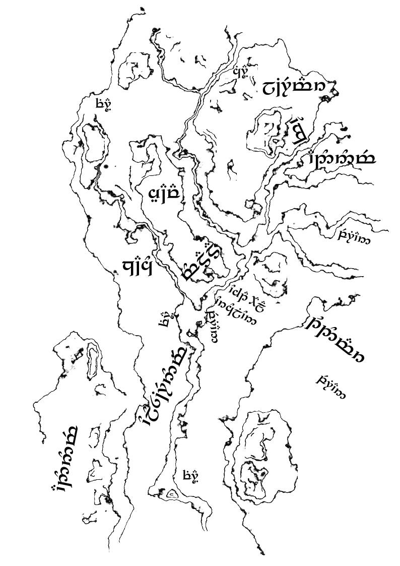
The book also has another version with English printed over the Quenya.
